Recalling pleasant things and taking the time to dwell on them.
Clinton Street – Iowa City’s Center of Commerce.
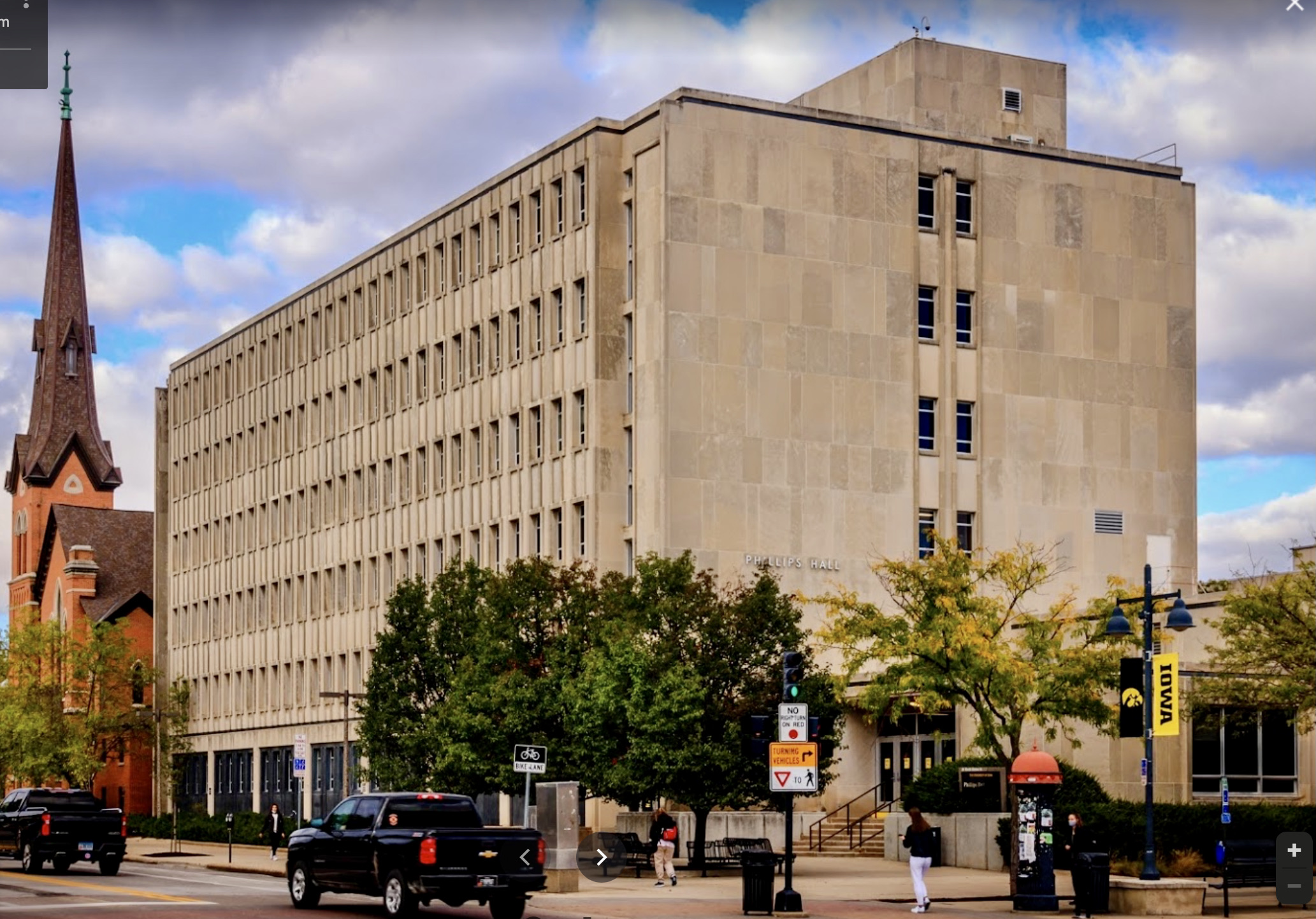
Today Clinton Street, in downtown Iowa City, is one of the busiest spots in town, especially when classes are in session at The University of Iowa.
Like the two Clinton County, Iowa communities – Clinton and DeWitt – located on the Mississippi River, Clinton Street in Iowa City is named for GovernorDeWitt Clinton, the most ardent advocate for the construction of the Erie Canal. DeWitt Clinton (1769 – 1828), served as a United States senator, as the mayor of New York City, and as the seventh governor of New York. Clinton was a major candidate for the American presidency in the election of 1812, challenging incumbent James Madison.
It’s not a coincidence that Clinton Street is what it is today. From the very beginning, when Iowa City was nothing more than a map drawn up on a piece of paper (1839), Clinton Street was destined to become the center of commerce for Iowa’s only pre-planned city.
Clinton Street was originally planned to become Iowa City’s center for commerce, stretching from the all-important limestone quarry to the north – present-day location of the UI President’s Home – to the southern edge of the city. Historians record that in 1838, just a few months prior to Iowa City’s birth, there were 237 residents of Johnson County. In the 1840 census, that number grew to 1,504, ballooned to 4,472 in 1850, and hit the 17,573 mark a decade later in 1860. From a business standpoint, that kind of growth is phenomenal, so no wonder people were flocking here to follow their American dream.
Dubuque: You see, in most cases, cities come into existence because of previous circumstances. Take Dubuque, for example – Iowa’s oldest community. In 1781, lead was discovered in the hills surrounding a very large river called the Mississippi. Feeding into that river was a tributary called Catfish Creek. In 1788, a French fur-trader named Julien Dubuque canoed down the Wisconsin River to the Mississippi River, turned left and settled on some of that land where a Meskwaki tribe was already successfully mining lead. The creek, river, and surrounding trees provided food, shelter and transportation, while the lead, when mined using techniques learned in Canada, made Dubuque a wealthy man. Others, over the next several decades, came and helped Dubuque mine that lead, building houses, having families, etc. By 1833, when the U.S. government said people could buy land here, the city of Dubuque came together quickly, because of these earlier circumstances.
Iowa City, on the other hand, had no prior circumstances that made it happen. It came about by a planning committee, looking to build a brand new city in a brand new location. So when Leander Judson drew up his 1839 map of Iowa City (below), the only pre-existing conditions he had to work with were 1) the Iowa River, 2) the hills surrounding it, and 3) one beautiful spot already located on one of those hills where a new capitol building would be built. Everything else would be worked out by city planners.
Here’s a look at Leander (L.) Judson’s original map (1839).Two months after the surveyors planted their stake — on July 4, 1839 — this first map of Iowa City situated in Township 79 North, Range 6 West of the 5th Meridian, was signed and approved. Iowa City, as it was laid out on Judson’s map, was one-square mile, divided into blocks 320 feet square with lots 80 x 140 feet. With six exceptions, the streets, which ran east and west and north and south according to the compass, were all 80 feet wide. The exceptions were Iowa Avenue (120 feet wide) and Washington, Jefferson, Capitol, and Madison (100 feet wide). Streets from west to east: Front, Madison, Capitol, Clinton, Dubuque, Linn, Gilbert, Van Buren, Johnson, Dodge, Lucas, and Governor. Streets from north to south: Brown, Ronalds, Church, Fairchild, Davenport, Bloomington, Market, Jefferson, Iowa Avenue, Washington, College, and Burlington. Click here to read more about the early maps of Iowa City.
Within days of Chauncey Swan’s decision on the best location for the capitol building, surveyors began laying the framework for Iowa City. The process was long and arduous, yet calculated and precise, as crews marked out a one-square-mile layout using a 20-foot board for measuring length while driving iron pins into the ground at each measurement to mark boundaries. More than 2,000 stakes were used to plot the original Iowa City area, and despite the slight inconsistency in measurements, engineering experts today say the accuracy of Iowa City’s plotting is astounding. “When we survey today, these streets run about as good north, south, east, west as you can imagine,” Glen Meisner, engineer and land surveyor says.
That was Iowa City in July, 1839, one hundred years ago — a map, a paper plat, recorded in the office of I.P. Hamilton, the recorder of Johnson County.Benjamin Shambaugh
As you look at Judson’s map (above), Capitol Square, of course, was to be the center of everyone’s attention. The next priority for Judson was setting up a centrally-located business district, with Iowa Avenue stretching eastward from Capitol Square into the community, ending one mile later with Governor’s Square on Governor Street, where an executive mansion would eventually be built. Notice that Judson also planned a City Park two blocks from the Capitol Building on Iowa Avenue, surrounded by churches to the north and south, and a school to the east. Further east were three commercial areas, North Market, Centre Market, and South Market, all about a 1/2 mile from Capitol Square, where residents could easily secure life’s necessities.Just as the designers had planned it, a view down Iowa Avenue would be picture-perfect from Gilbert Street.
On July 25, 1839, Territorial Governor Robert Lucas, announced two sale dates when the public could begin purchasing land in the newly-surveyed Iowa City: the third Monday in August and the first Monday in October. This announcement stirred excitement across Iowa Territory and back East as well, and the city map (above) that had been first shown to the public on July 4th, was now distributed throughout Iowa and beyond…
As the word spread quickly about the August land sale, the question arose –
But, where will all these potential buyers stay when they come to Iowa City for these auctions?
Historian Benjamin F. Shambaugh tells us the quick solution…
Speaking of last-minute hotels – since the Capitol wouldn’t be ready for occupancy until 1842, a wise businessman named Walter Butler, who bought property on Clinton Street (Block 80 – lot 5) and built a hotel there, purchased lot 6 – adjacent to his hotel – throwing up a two-story frame building on the NE corner of Clinton and Washington Streets. He “rented” this hall to the Territorial Legislature in December of 1841 at no cost so they could conduct their business in the new capital city – thus the building took on the nickname: Butler’s Capitol.Click here to read more about Walter Butler and his pro-active involvement with early-day Iowa City.
Circa 1854 – Isaac Wetherby takes the very first picture of the Iowa State House (Old Capitol) during the second annual Iowa State Fair (September 1854). A team of oxen going down South Clinton is another highlight of this rare photograph.
Soon, other business were springing up on Clinton Street as well. By 1854, when photographer, Isaac Wetherby came to town, opening up his first retail shop on Clinton, he took the earliest pictures we have of the State House (Old Capitol) and downtown Iowa City..
Circa 1854- Isaac Wetherby takes a picture of Clinton Street, looking north, directly across from Capitol Square.Circa 1854 – Isaac Wetherbytakes a picture of the corner of Clinton and Washington, shot from the steps of the Iowa State House (Old Capitol).1854 – Iowa City artist George H. Yewellteams with map maker J.H. Millar to produce a beautiful map of Iowa City which included 12 illustrations by Yewell. Here is his “Part of Clinton Street” etching, looking southward from University Square.
(JP-029)Here is a rare postal cover from 1857 – coming from the final months of the financial boom of the 1850’s. Cook, Sargent & Downey Bankwas heavily involved with land transactions around the State of Iowa, and had offices in the new Banking House on Banking Corner. Read more here.
With these four pics (two above – two below) – you see the evolution of the Clinton Street buildings near the northeastern corner of Washington & Clinton. Whetstone’s Drugs, at 32 South Clinton Street, was located at this corner from 1880 until the early 1970s.
Above – South Clinton Street in the 1870’s and 1880’s….
1895 – Here’s an early street paving project in Iowa City – looking north along Clinton Street from Washington Street with University Square as a backdrop. The surface from Jefferson south to Burlington was brick, which can be seen stacked at street side beyond a limestone curb already in place. – Clinton Street was the first street paved with brick – beginning in 1895 – Read more here.Circa 1897 – Clinton Street between Iowa Avenue on the south (right) and Jefferson Street on the north. The Unitarian Church (Unity Hall) is on the far right w/tower, located on the northeast corner of Clinton St. and Iowa Ave.Circa 1890 – Fun-n-games rolling barrels down Clinton StreetCirca 1912 – looking at the corner of Clinton & Washington Streets from University Square.Looking east from the Pentacrest on Iowa Avenue – Unity Hall on the left – University Books on the right.
(P-0398)A C.L. Wieneke postcard featuring Clinton Street looking north in 1906.(M-0039)Looking directly north on Clinton Street, here’s the corner of Clinton & Washington Streets in downtown Iowa City in 1907.
On Good Friday, April 21, 1916, The St. James Hotel went up in flames – drastically effecting the Iowa City business community of Clinton Street. Read more here.The ruins of the St. James Hotel – 1916.(P-0046)The Home of the University President. While most of the city’s attention on Clinton Street focuses on downtown Iowa City, one must not forget that at the far north end of the street, you will find the stately mansion built for the University of Iowa President. If you recall, when Iowa City was first laid out (1839), the plan was to build a Governor’s Mansion at the far eastern edge of Iowa Avenue (Governor Street). But those plans were all for naught when the state capital moved to Des Moines in 1857.So, it seems rather fitting that at the northern end of Clinton Street, Iowa City still has its executive mansion. And a beautiful one it is.(P-0047) The University of Iowa President’s Residence stands on a bluff overlooking the Iowa River. This neo-Georgian home was completed in 1909, at the north end of Clinton Street, for a total cost of $25,067. Proudfoot and Bird were the architects, and B.A. Wickham was the contractor. The original home contained 16 rooms and four bathrooms. The house now offers over 12,000 square feet of living area.
Further south of downtown Iowa City, construction was underway on a new Johnson County Courthouse (pictured below) which was completed in 1901. This is the fourth Johnson County Court House since 1837, with three of the four located on South Clinton Street. Read more here.
Today – The 100 block of S. Clinton Street – looking north.Today – The 100 block of S. Clinton Street – looking south.Today – N. Clinton – looking south.
Though the changes are dramatic indeed, from the 1850’s to today, Clinton Street remains the place to be when in Iowa City. On Iowa! Go Hawks!
On July 1, 1976, The Iowa City Press-Citizen published a special 76-page Bicentennial edition. In that edition there were articles and pictures related to stories found on this page.You can read more here.DYK-September 29, 2021 DYK-January 25, 2023 DYK-March 10, 2023 DYK-August 11, 2023 DYK-November 12, 2023July 25, 1839 – Iowa Territorial Governor Robert Lucas announces two sale dates when the public can begin purchasing land in the newly-surveyed Iowa City: the third Monday in August and the first Monday in October. A Day-by-Day Calendar of Historical Events In Iowa, William J. Petersen, State Historical Society of Iowa, 1946, p 72
Kudos to the amazing resources below for the many quotes, photographs, etc. used on this page.