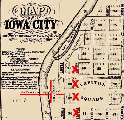
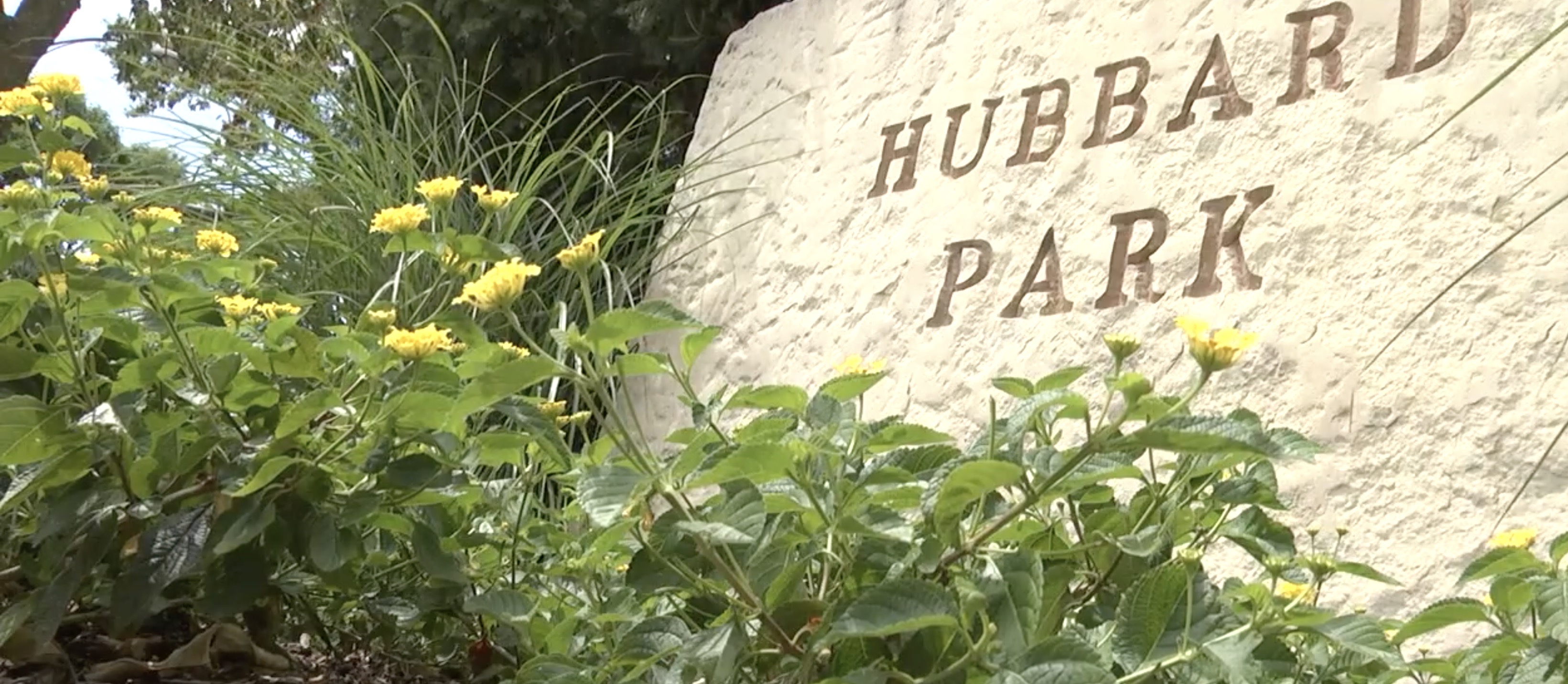
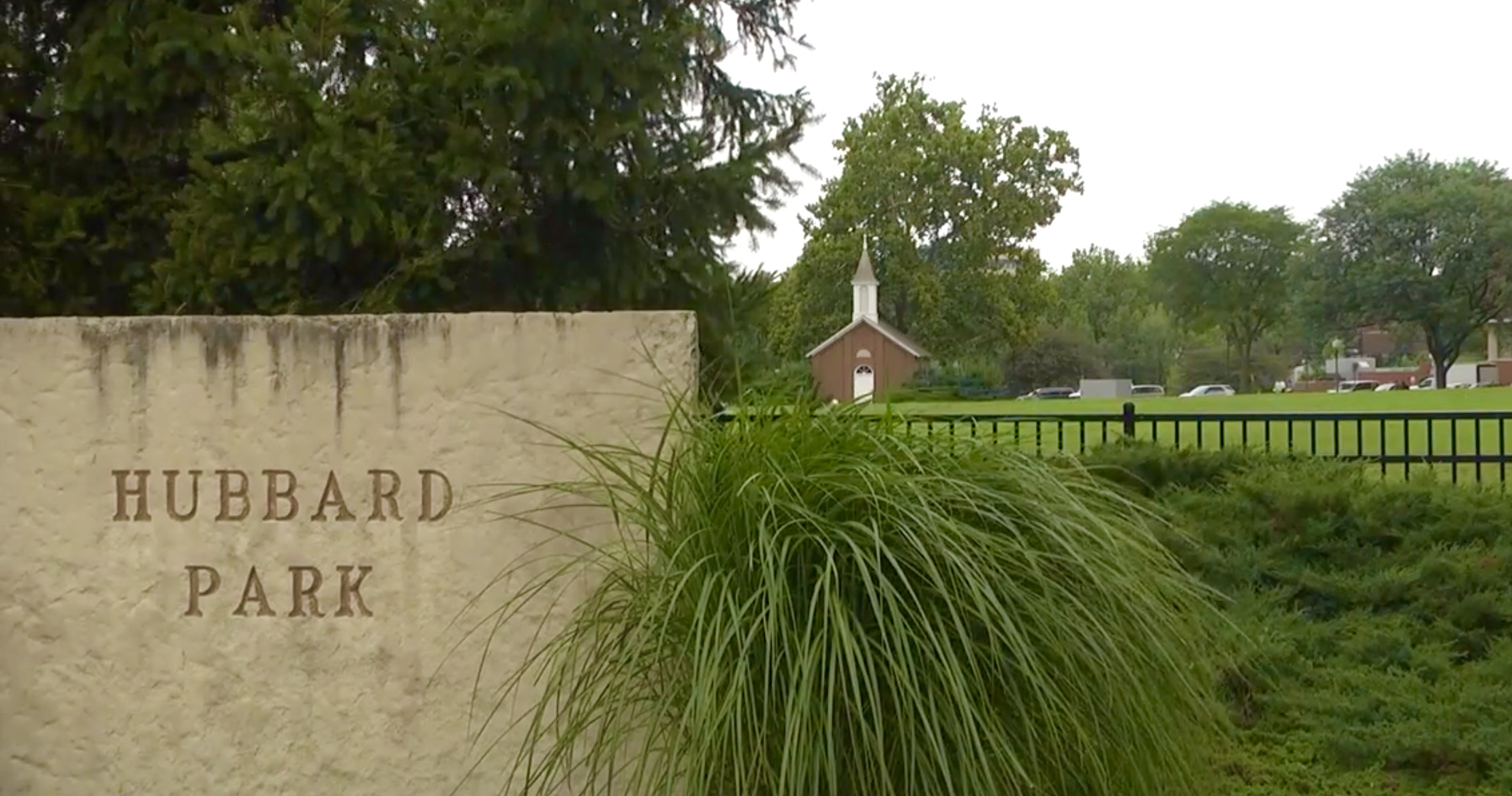
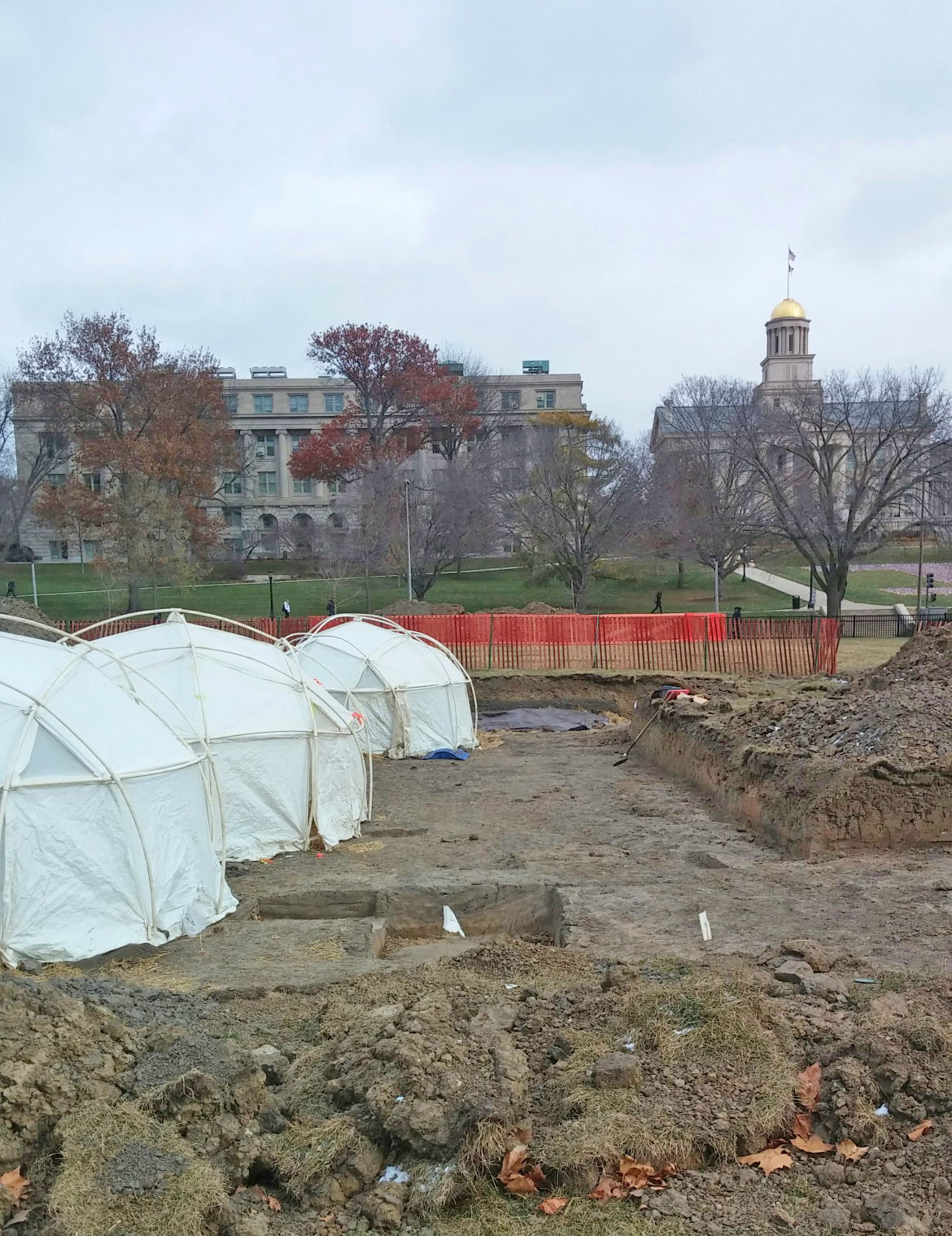
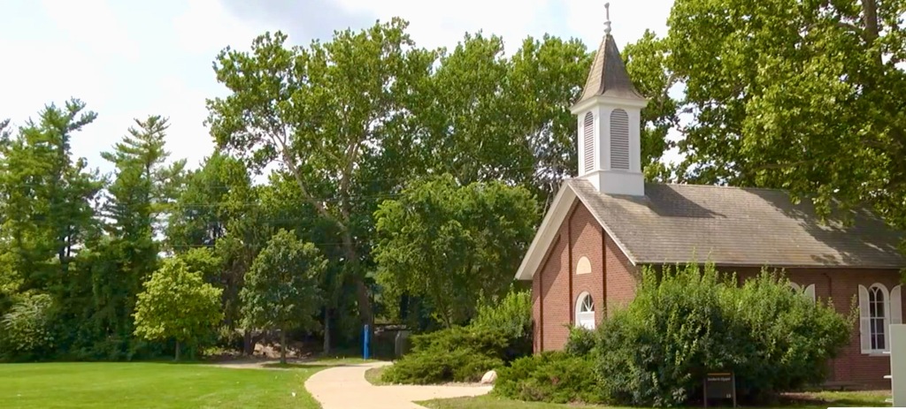
Today, Hubbard Park – the green space south of the Iowa Memorial Union and home to Danforth Chapel – is used for recreational purposes with beautiful views of Old Capitol in the background.
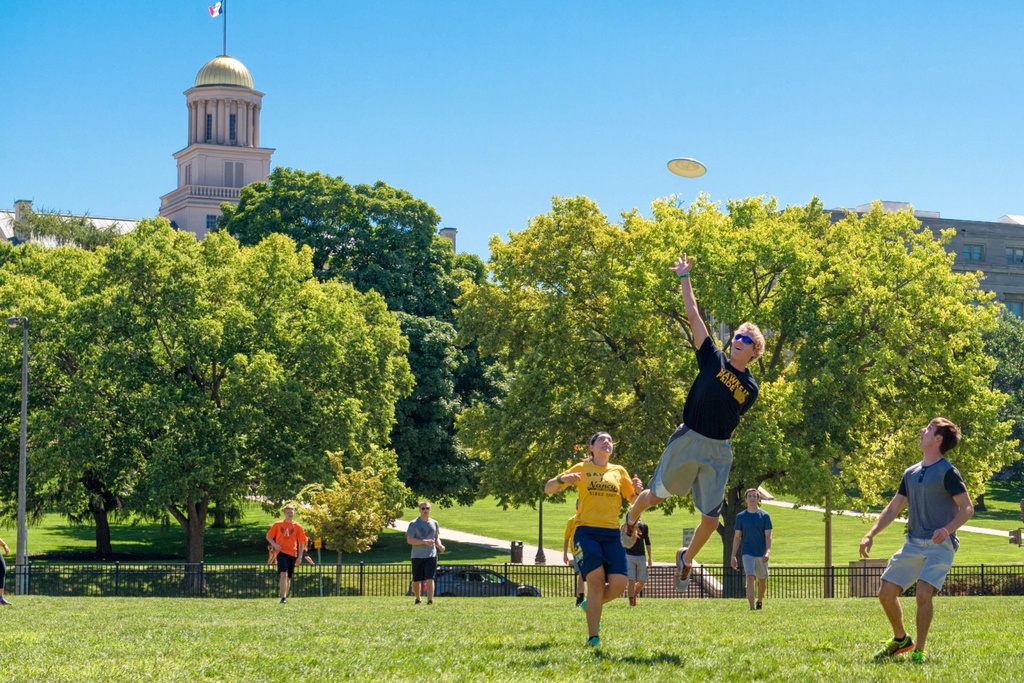
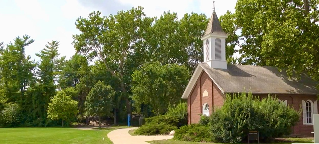
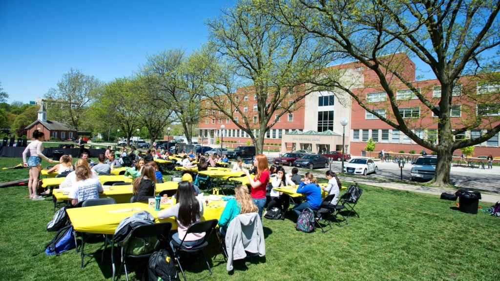
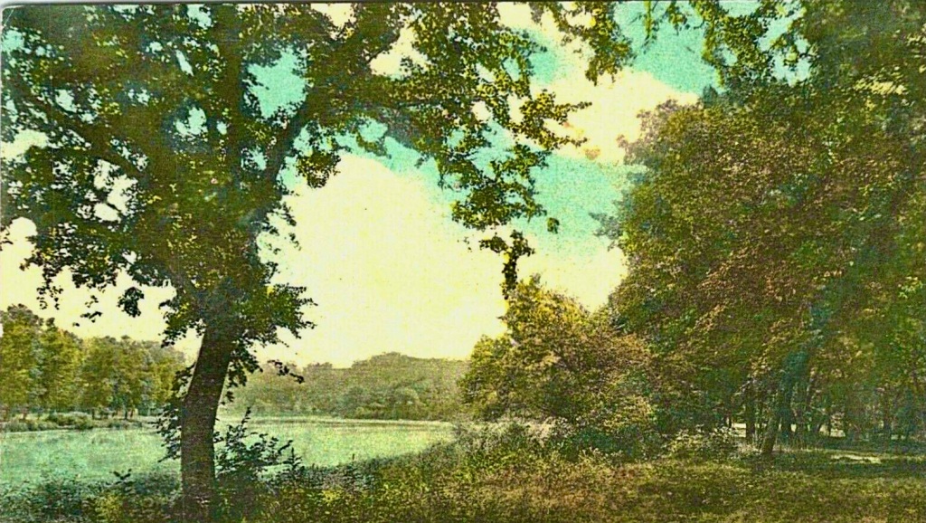
It’s our guess that very few people who enjoy the open green space of Hubbard Park today know about the rich and diverse history of this land that adorns the eastern shore of the Iowa River. So here on this post, let me fill in some of that history…

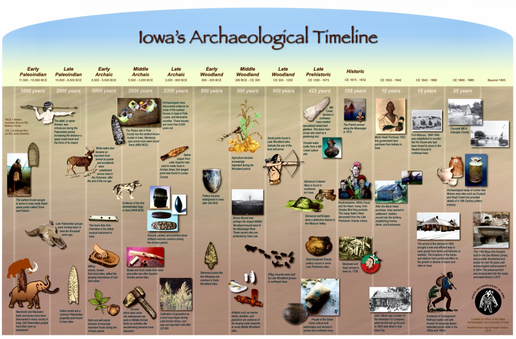
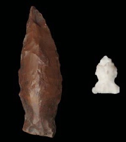
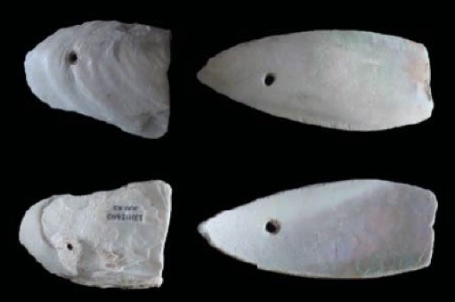
Long before Europeans came to settle here in Johnson County (1830’s), Native American tribes called this area home. Read more here. During excavations of this area along the Iowa River (2014), archaeologists discovered thirty-three prehistoric artifacts dating from 1,000 to 3,500 years ago – including two projectile points, a modified shell and several ceramic shards (see above). It was during this Late Prehistoric age when these indigenous people slowly became more sedentary as they began to grow their own food. It’s also believed that these Native Iowans established long-distance trade routes with other groups across North America during this time. While living here along the Iowa River, they probably ate foods such as birds, fish, shellfish, various plants, waterfowl, small mammals, freshwater mollusks, nuts, fruits and tubers.


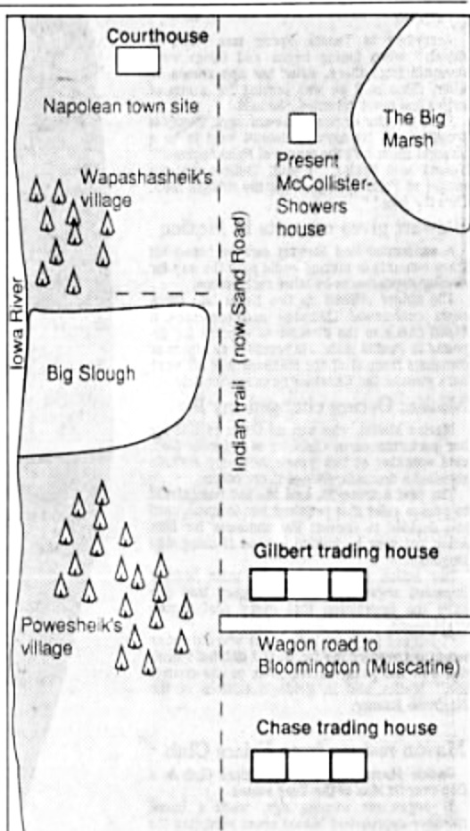

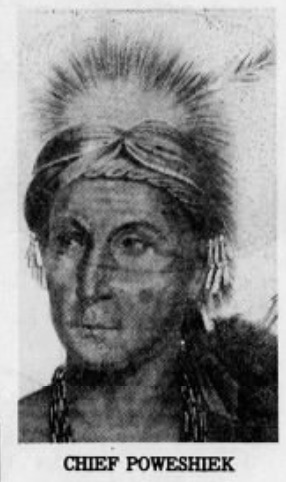
The last Native American tribe to call this land home was the Meskwaki people. By the early 1830’s, Chief Poweshiek and his tribe – who first lived along the Mississippi River – had been forced westward via the Black Hawk purchase and were now living here alongside the Iowa River when fur traders from the east first arrived.

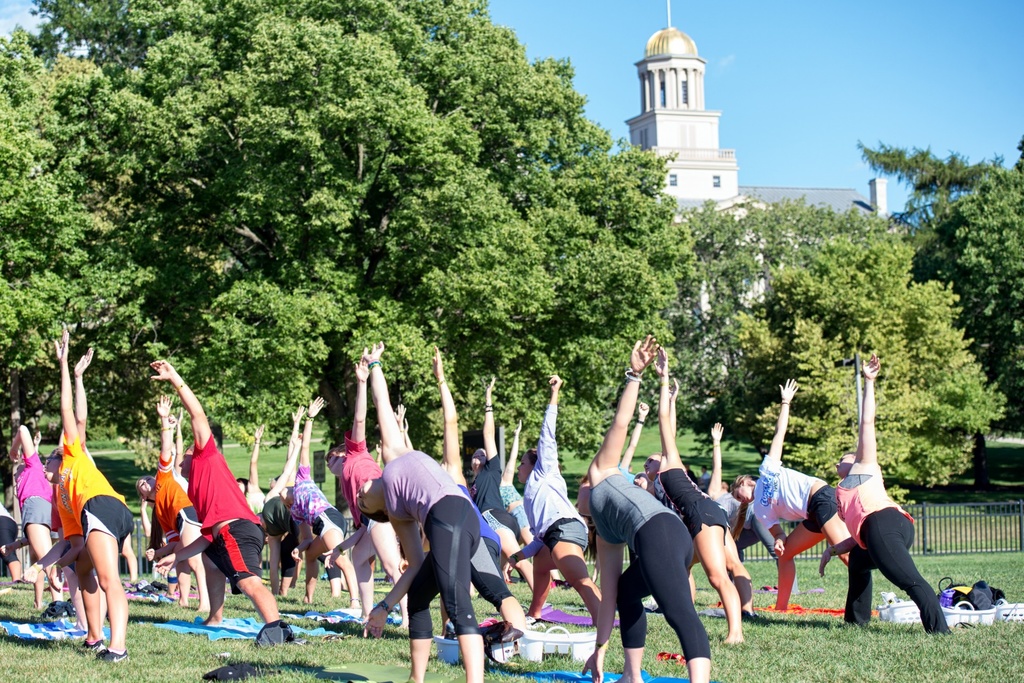
On July 4, 1839 – Leander (L.) Judson‘s proposed map of Iowa City (below) was released – laying out the new planned community of Iowa City. One square mile (640 acres) of land was sectioned off with 100 surveyed blocks in the center. Each of those city blocks measured approximately 2.35 acres each (320 ft x 320 ft) – and each of the surveyed blocks was sectioned into eight lots measuring 80 x 150 feet.
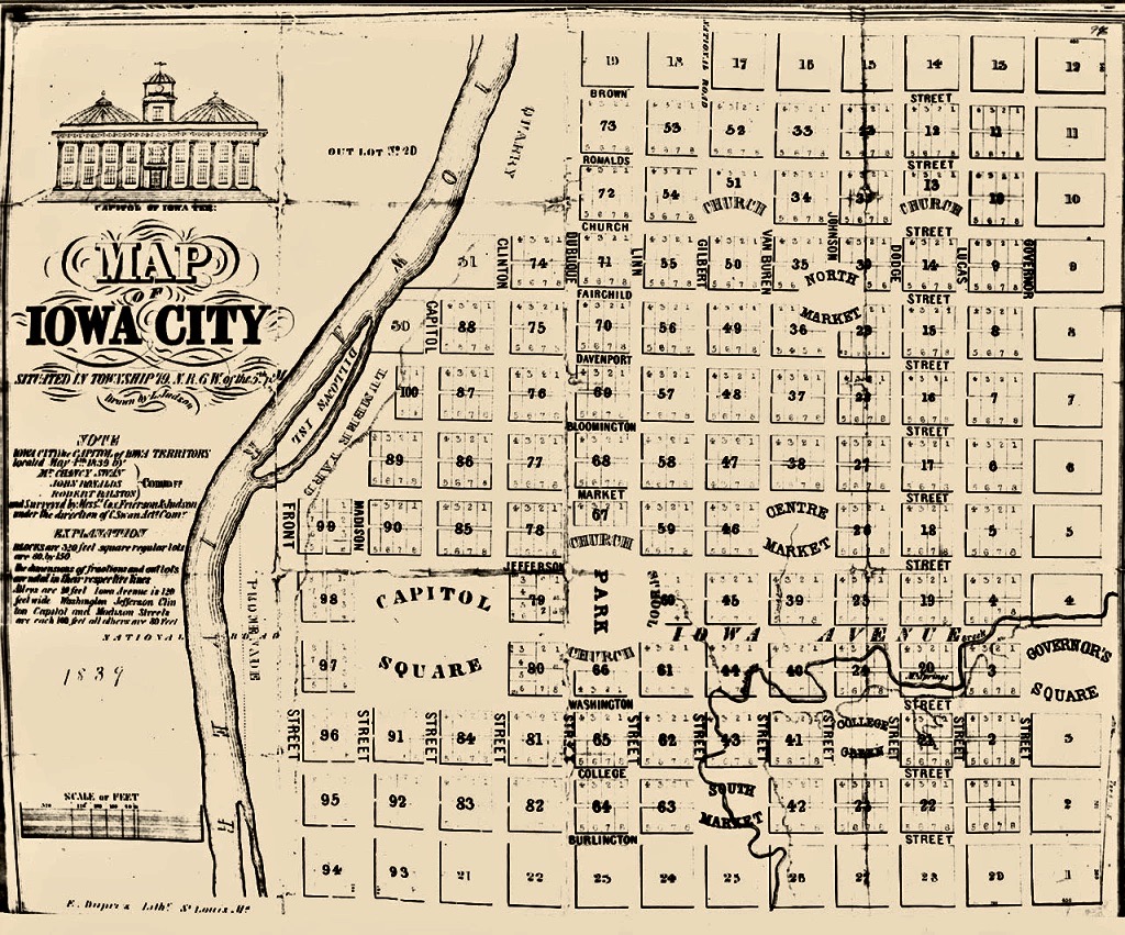
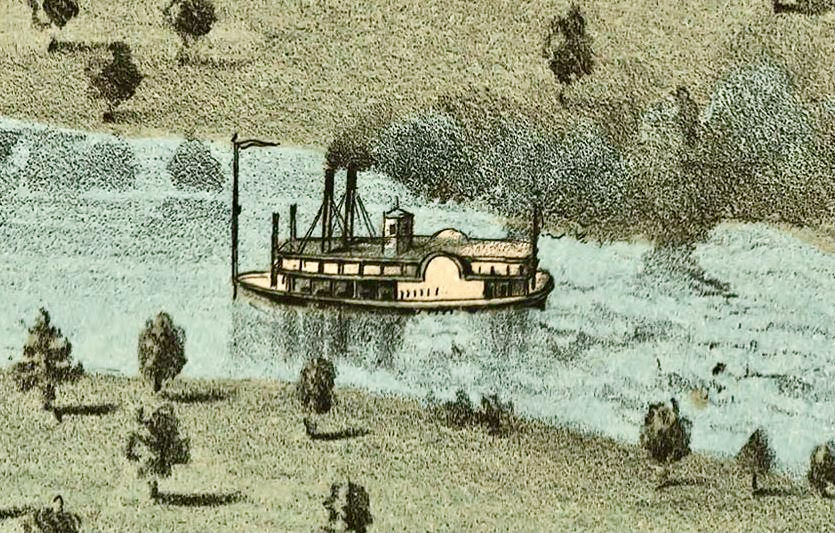
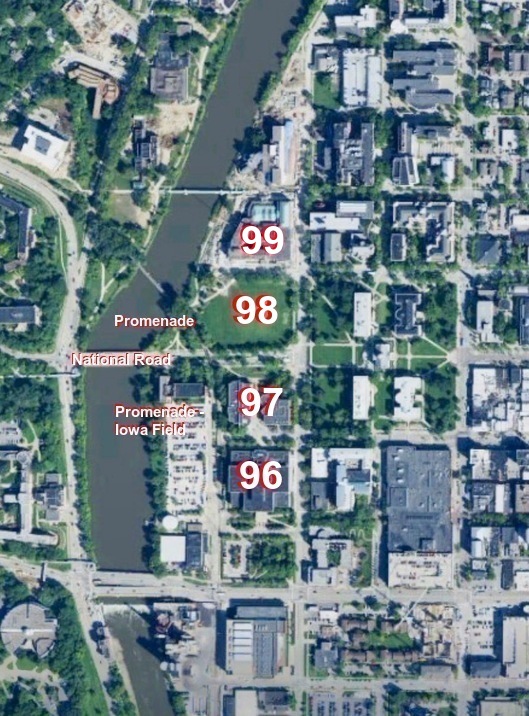
A closer look at Judson’s map (below) designates Blocks 96 – 99 as lots adjacent to Front Street and The National Road – the location of ferry service across the river. Just to the west of these four blocks was The Promenade – the proposed riverboat landing where incoming and outgoing Iowa River steamboats would dock.
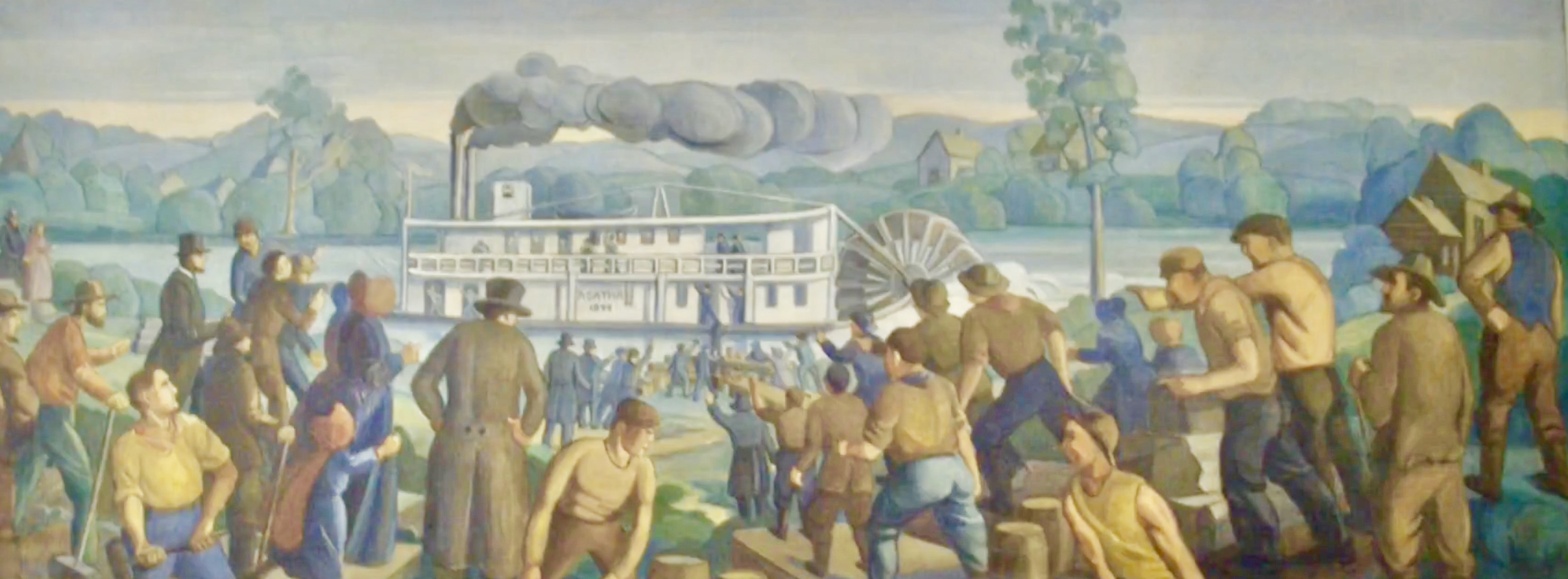

From the early 1840’s to the turn-of-the-century – Blocks 96 – 99 were the home for a simple residential neighborhood in Iowa City – a diverse group of European immigrants, Euro-Americans and African-Americans all living together in this community beside the Iowa River.
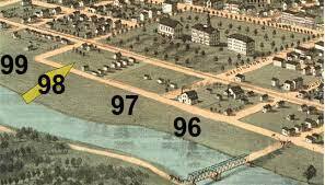
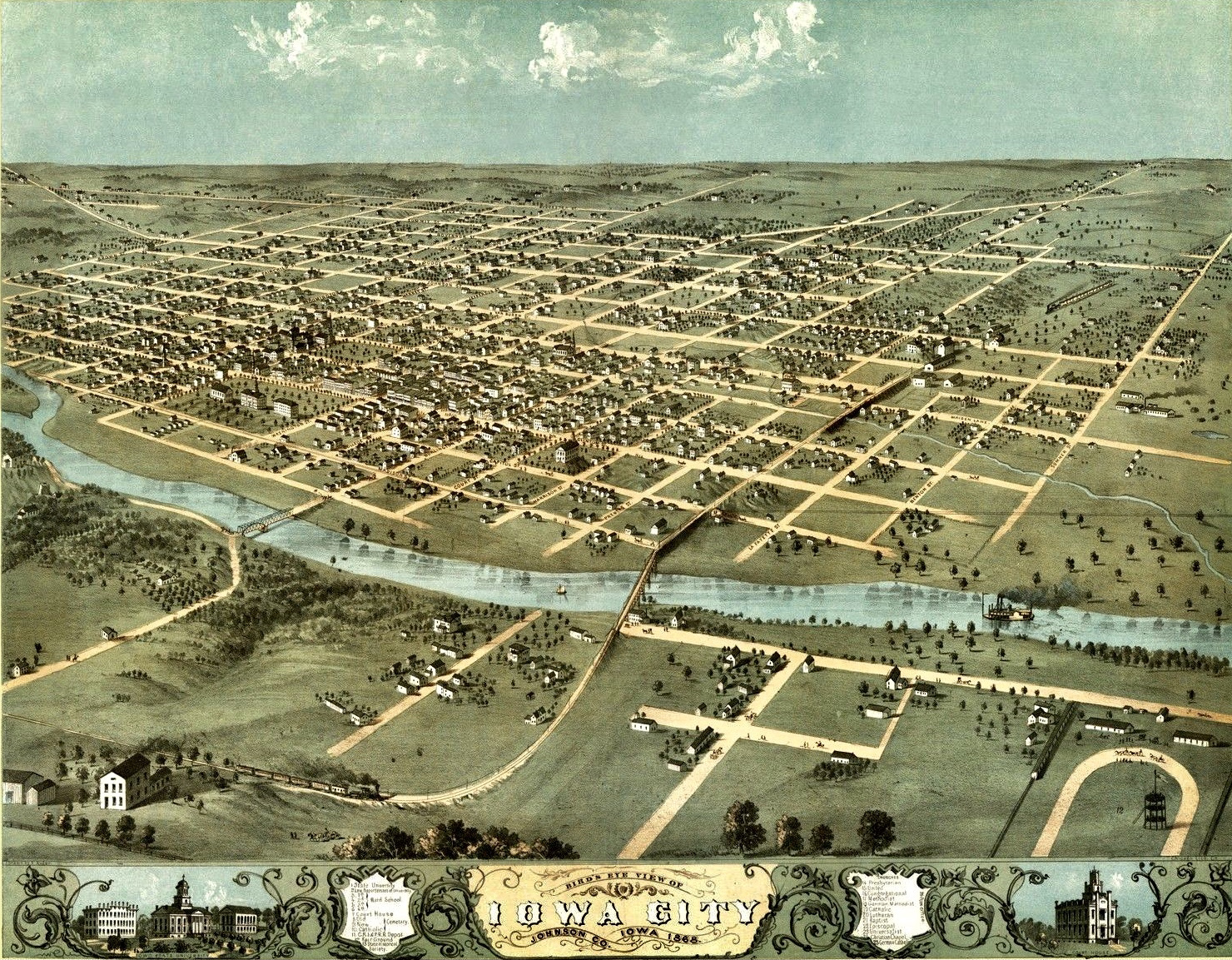
This map from 1868 shows the early neighborhood development in Blocks 96-99.
The majority of the buildings in this unique neighborhood were constructed between 1857 and 1870. Most who lived here were middle and working-class people, with house sizes ranging from moderate two-story homes owned by “blue-collar” folks to smaller cottages rented by poorer, less-advantaged families. From the very beginning, the majority of residents labored as general for-hire laborers, painters, carpenters, teamsters, dressmakers, milliners, tinners, and bricklayers. Read more stories here.


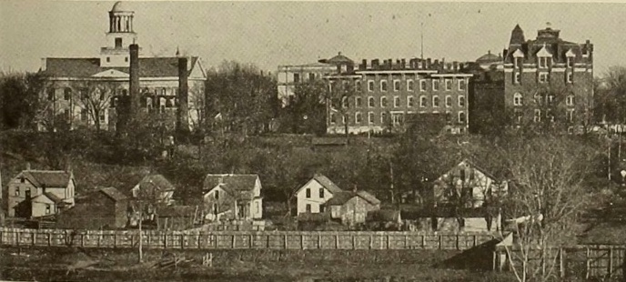
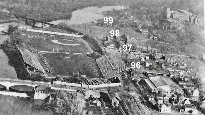
As the university expanded near the end-of-the-century – Iowa Field opened in 1895 – taking up most of the riverfront area (The Promenade) between Iowa Avenue and Burlington Street with a baseball field (see pic below) and a new football field to the south. In this 1895 photo below you can see the residential section of Lots 96 & 97 located just to the east of Iowa Field.
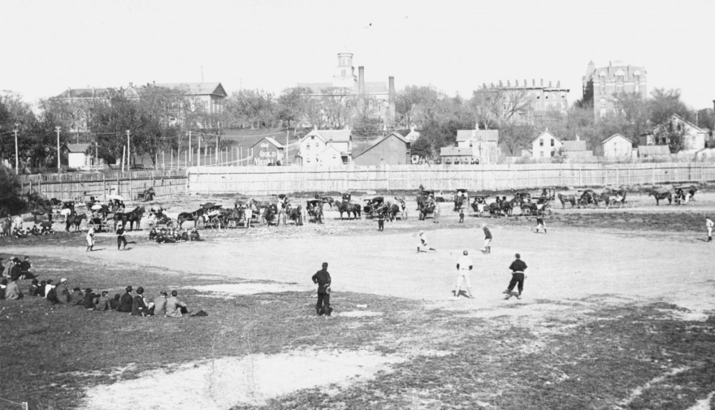

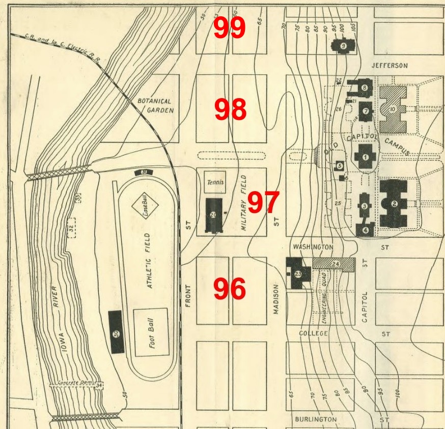
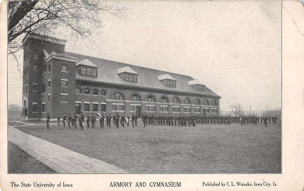
By 1905 – major change had come to the riverfront. SUI purchased Block 97 – adjacent to Iowa Field – making room for a new SUI Armory, tennis courts, and Military Field (see pic above). The CRANDIC Railway also completed their bridge over the Iowa River, running high-speed “interurban” rail cars – beginning in 1904 – between Cedar Rapids and Iowa City. As you can see in the picture below – the CRANDIC tracks cut right next to the new Armory – running adjacent to Iowa Field and Blocks 96 & 97.
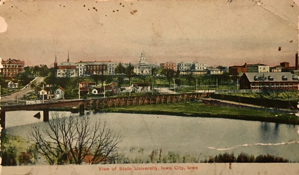
Between 1900 and 1920, the old neighborhood was slowly disappearing – house-by-house, barn-by-barn. The University certainly had expansion plans on the front-burner, but it took these last two decades to finally convince determined families to leave their long-established homes.
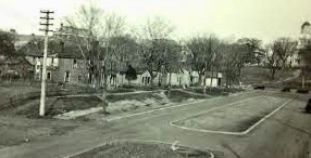
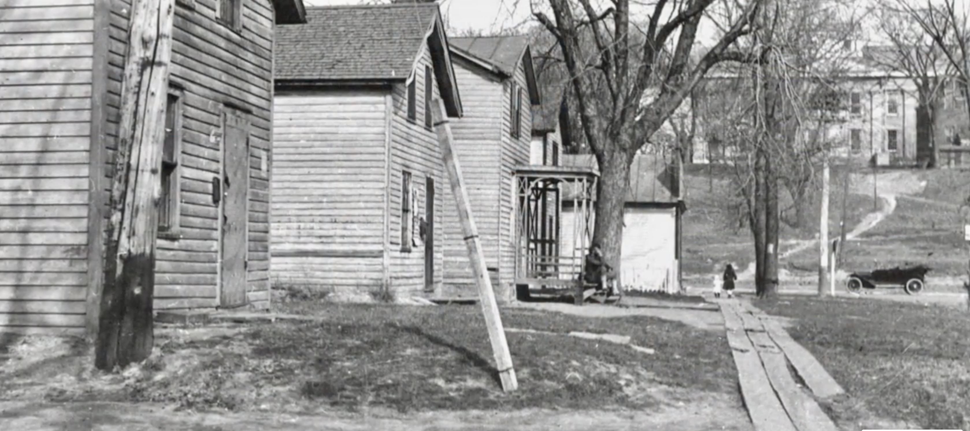
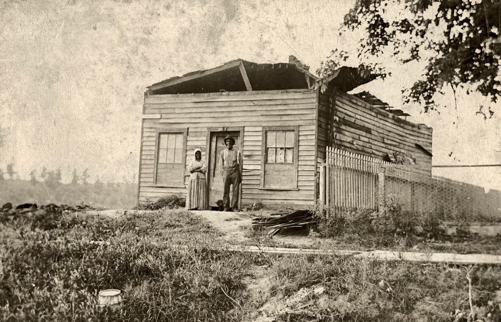
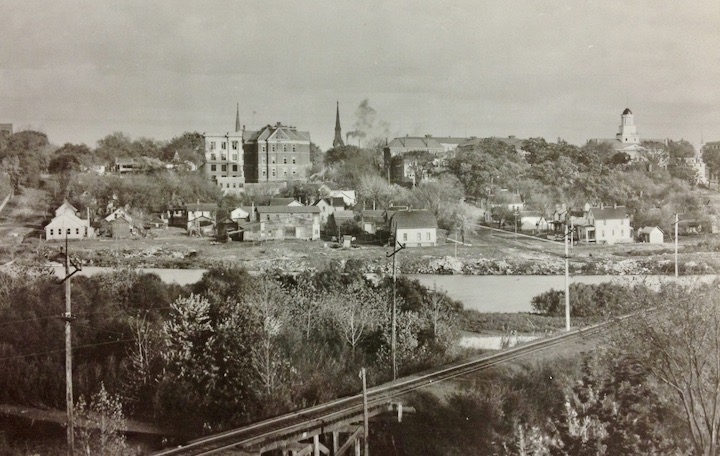
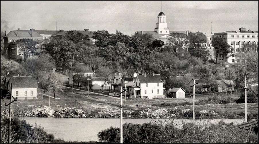
The local historian Irving Weber described the 1910 community on the river as…
A series of plain, unpretentious and somewhat rundown two-story frame houses. A badly dilapidated board sidewalk, paralleling Iowa Avenue, was almost ready to fall apart.
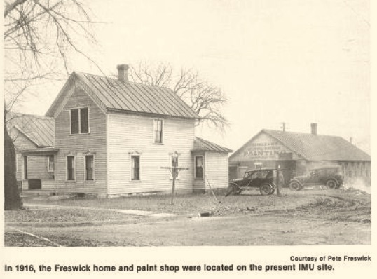
As the Office of the State Archaeologist’s William Whittaker explains, “In the political and social sphere of 19th century Iowa, most residents in this part of town carried little weight. Because they were considered unimportant, relatively little information about them was ever recorded.”
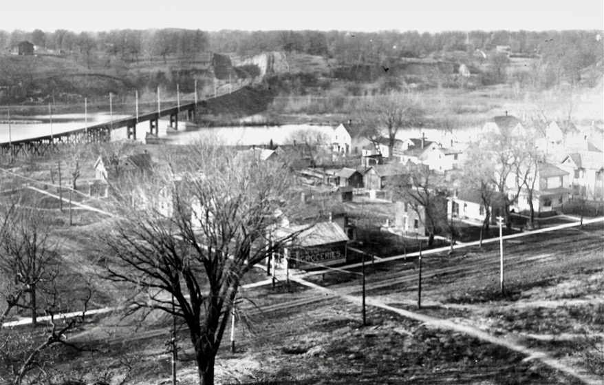
Click here to read the stories of those who lived here from the 1840’s right up until the 1920’s.
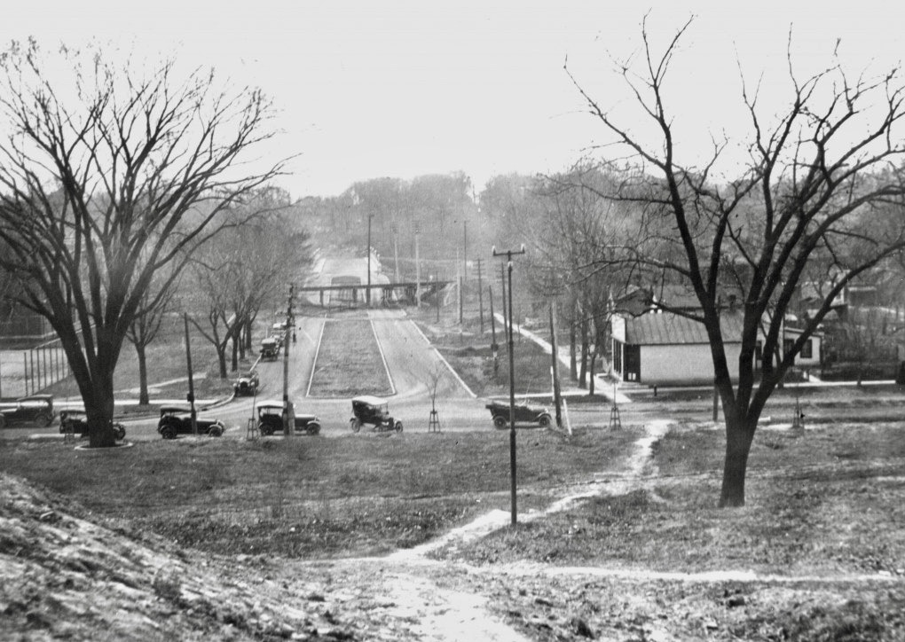

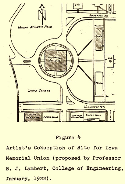
In 1922, after several years of fundraising and planning, B. J. Lambert – a College of Engineering faculty member – drew up plans (below right) for the proposed Iowa Memorial Student Union (IMU) to be constructed directly west of Old Capitol along the Iowa River (Block 98). A few people objected to Lambert’s proposal because it would displace the last of the neighborhood’s residents, but more opposed it because Lambert’s design would hide a view of the capitol building from the west.
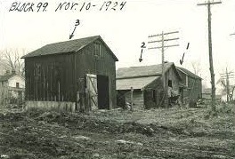
In 1923, SUI accepted an alternative plan which shifted IMU further north (Block 99) so it would no longer block the view of Old Capitol. But with either plan, the remainder of the old neighborhood was doomed, and by November 1924, lumber was being hauled to the IMU construction site (see below) and the few existing buildings located on Blocks 98 & 99 were being razed.
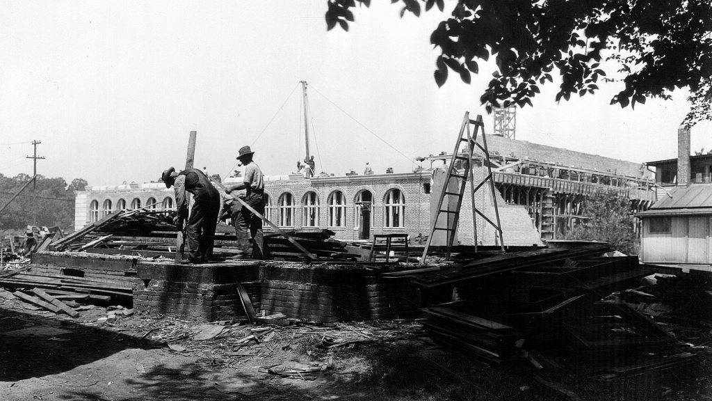
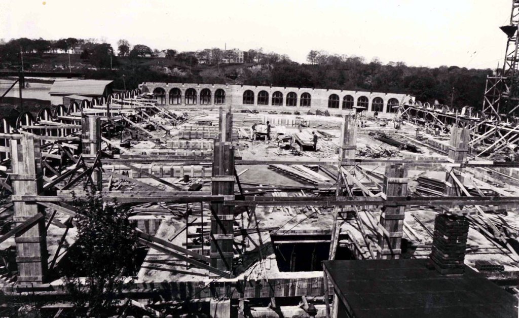

By 1926, the new Student Union (Block 99) was open and Block 98 – named Union Field – was now being utilized as the Women’s Athletic Field.
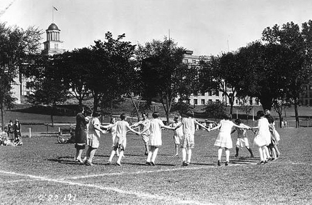
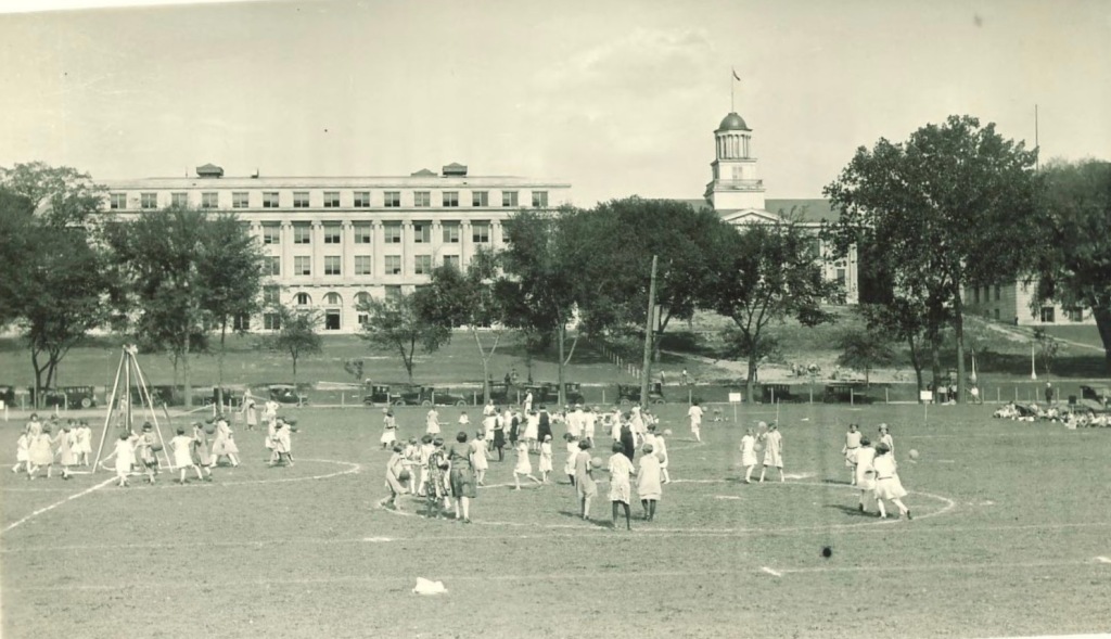
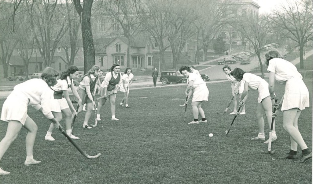
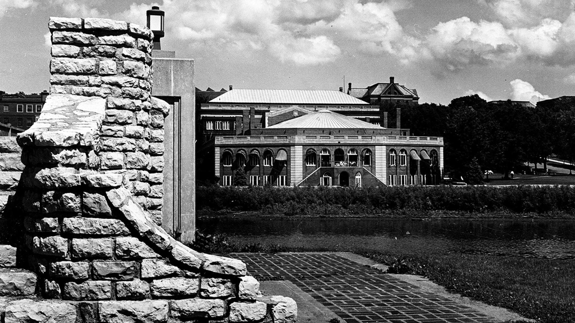
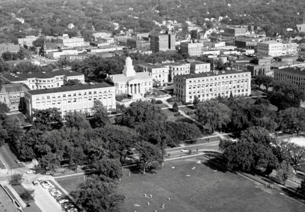

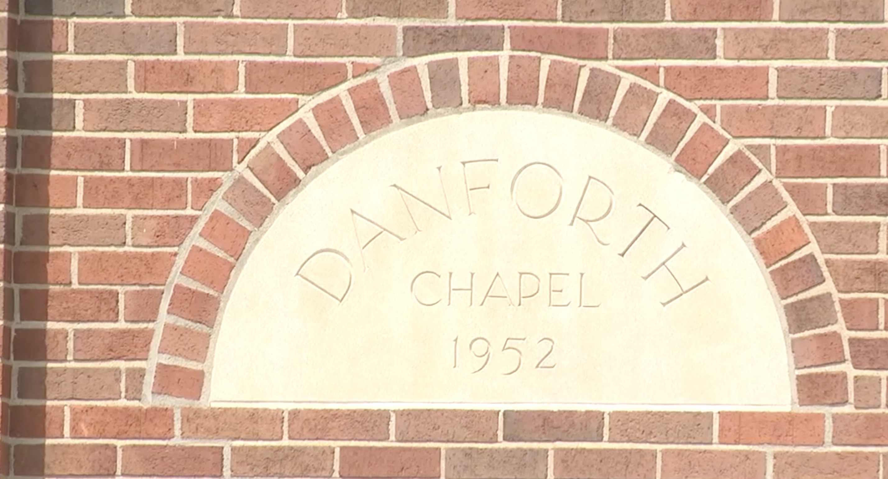
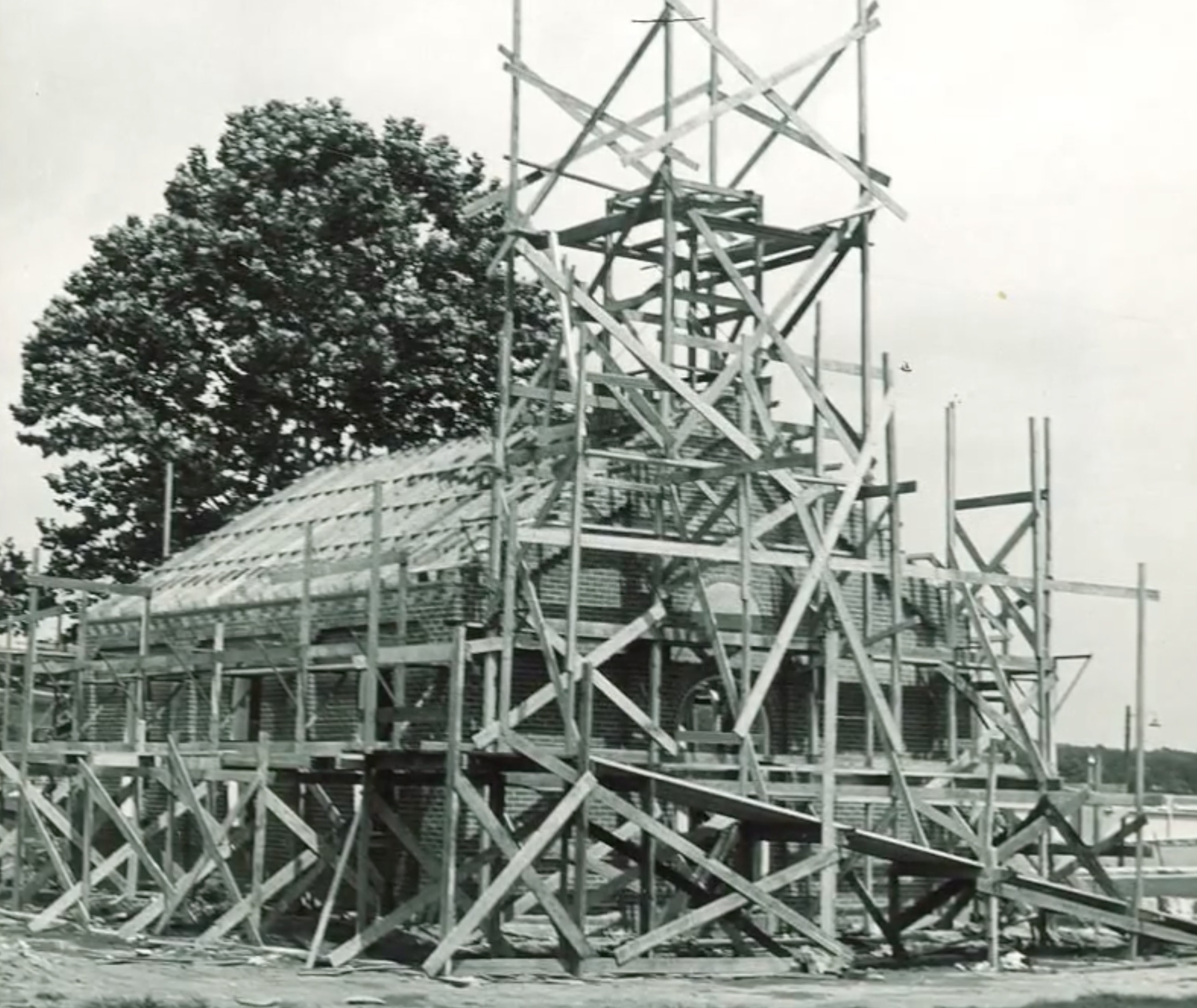
Beginning in the 1930s, St. Louis businessman and founder of Ralston-Purina William H. Danforth funded the construction of 24 Danforth chapels on college campuses nationwide, including the University of Iowa. Danforth offered the UI two gifts of $5,000 each to build a non-denominational chapel to represent people of all beliefs. Danforth Chapel opened in Union Park on January 11, 1953.
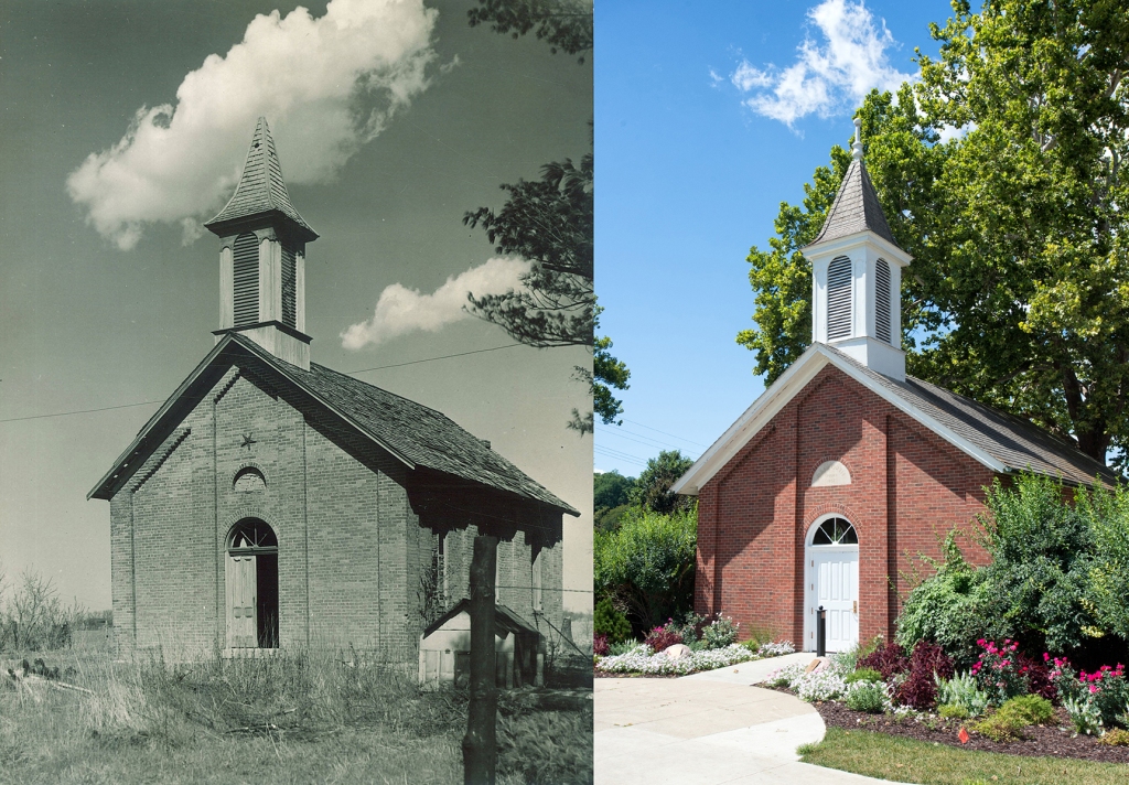
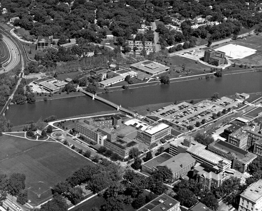

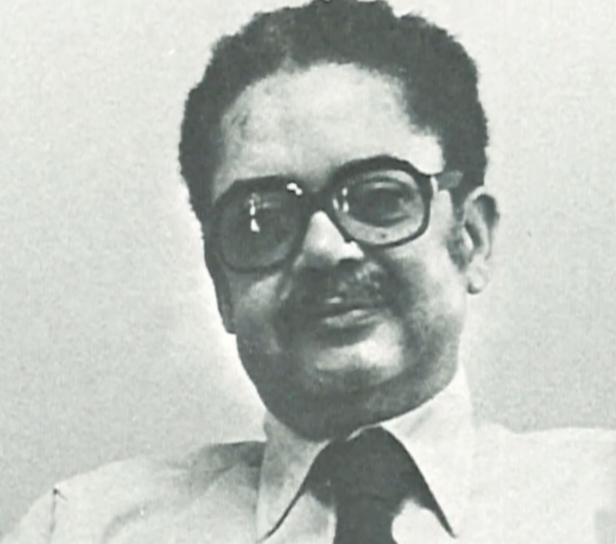
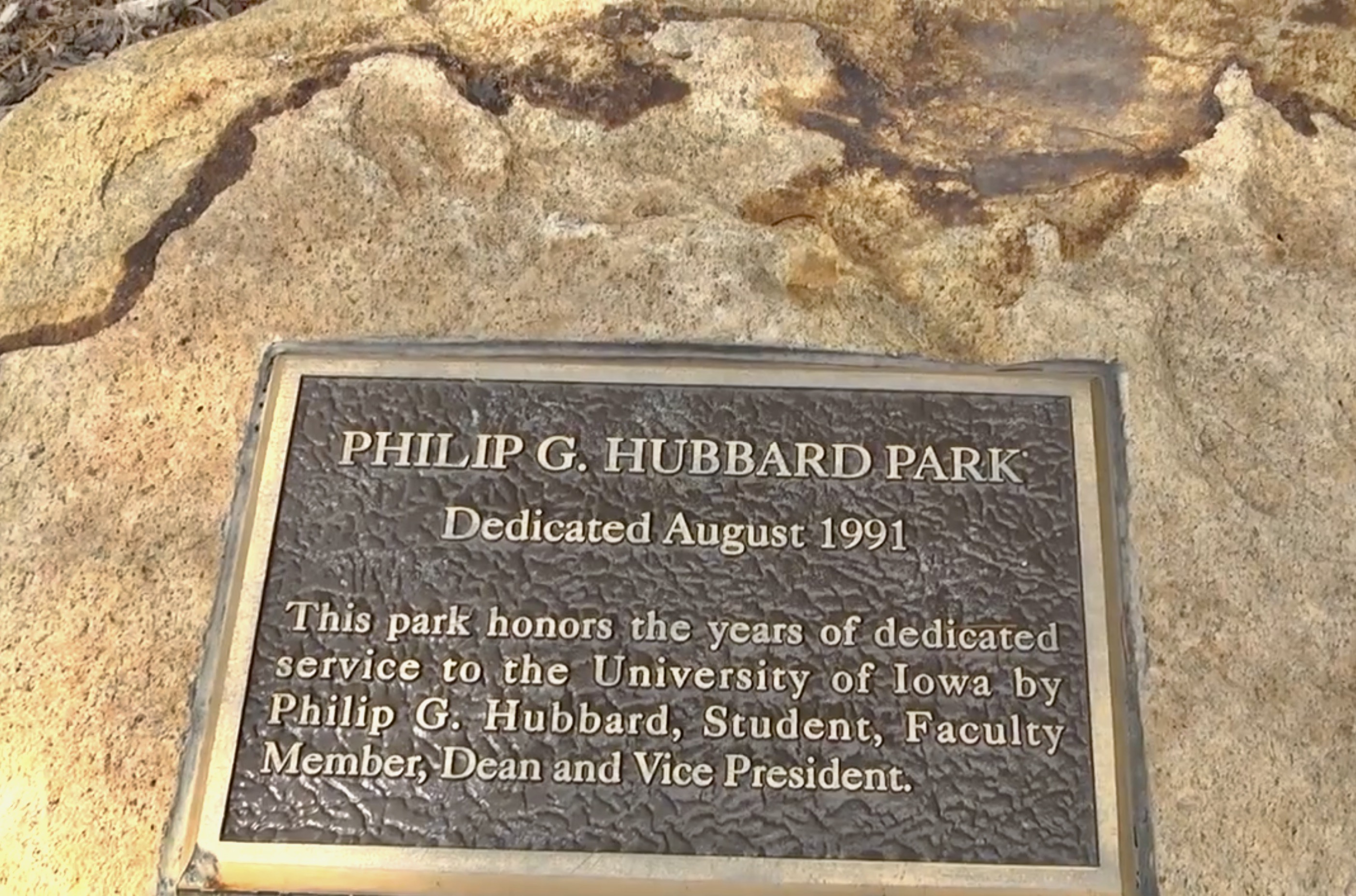
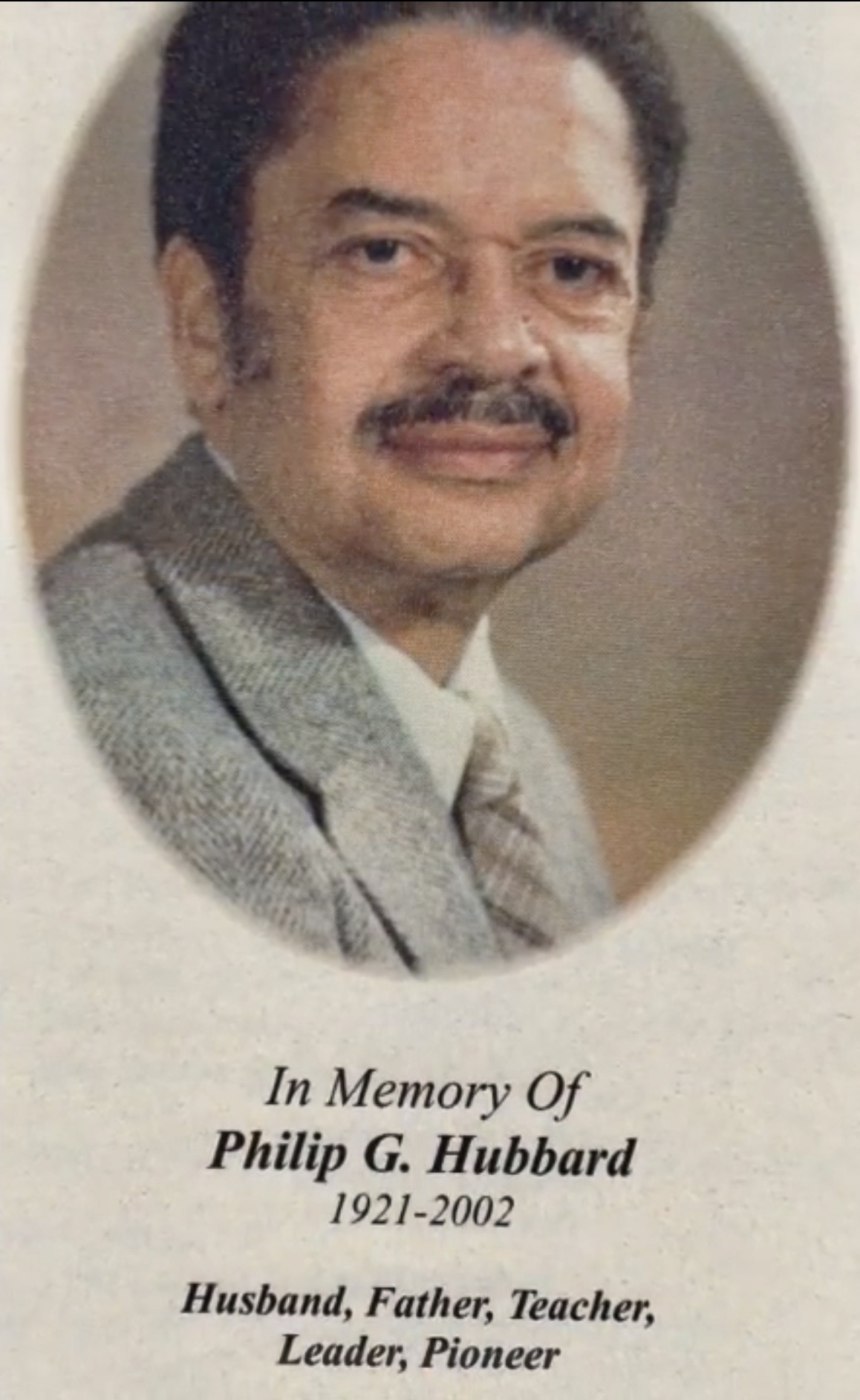
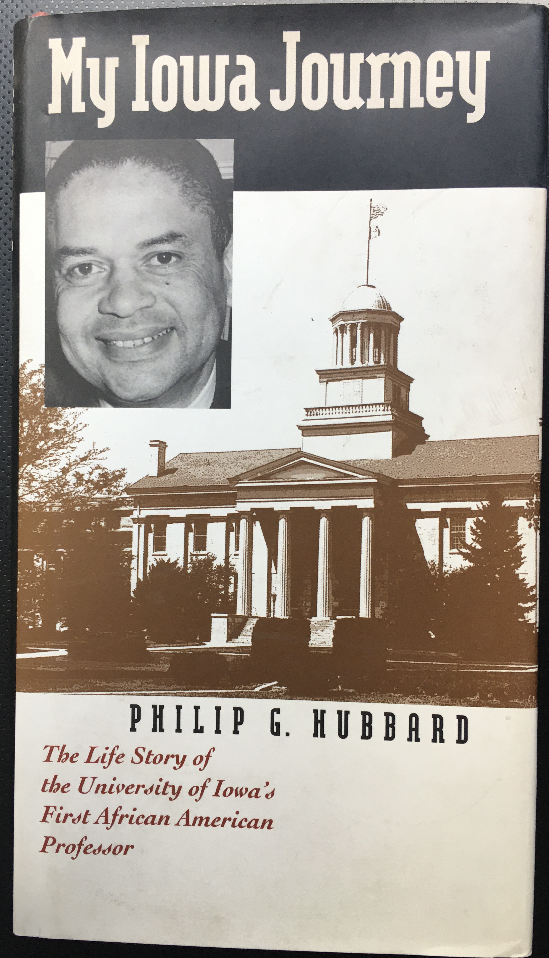
In the late 1980’s, some believed Union Park was so valuable – it needed to be used for development. But sane minds prevailed, keeping it from being turned into a parking lot. And in 1991, Union Park was renamed Hubbard Park to honor the University of Iowa’s first African-American professor – Philip G. Hubbard – a fitting way to not only honor this SUI trail-blazer – but also to remember the rich diversity of this old Iowa City neighborhood. (BH-123)




Kudos to the amazing resources below for the many quotes, photographs, etc. used on this page.

Hubbard Park, Iowa Memorial Union, University of Iowa
Hubbard Park, Nathaniel Otjen, Iowa City Parks, University of Iowa Library
History – Iowa Memorial Union, University of Iowa
Iowa Avenue Bridge, The University of Iowa, 1895, Iowa Digital Library
University of Iowa campus map, 1904-1905, Iowa Digital Library
Campus, The University of Iowa, 1905, Iowa Digital Library
Girls playing ball on field west of Pentacrest, The University of Iowa, Iowa Digital Library
Field hockey drill, The University of Iowa, 1930s, Iowa Digital Library
Pentacrest, Hubbard Park, The University of Iowa, 1950s, Iowa Digital Library
10 things you might not know about the Iowa Memorial Union, IowaNow
Going To The Chapel, Kathyrn Howe, Iowa Alumni Magazine, February 2016
Click here to go on to the next section…
Click here for a complete INDEX of Our Iowa Heritage stories…

